
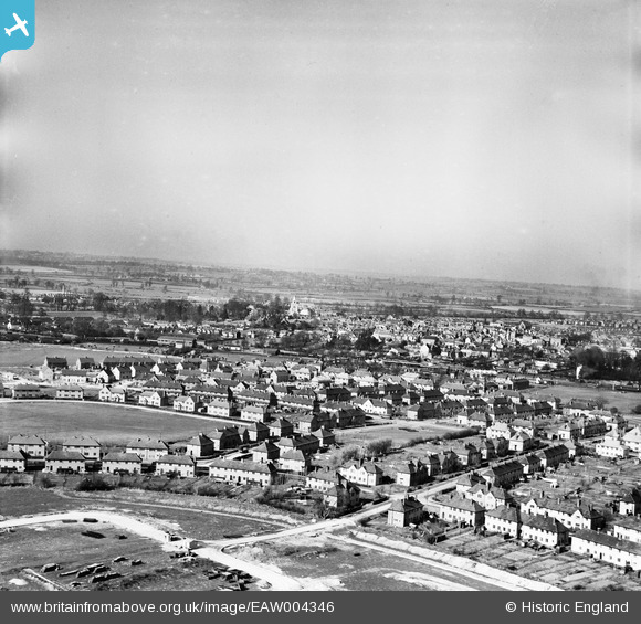
EAW004346 ENGLAND (1947). Housing surrounding Prebendal Avenue and the town, Aylesbury, from the south, 1947
© Copyright OpenStreetMap contributors and licensed by the OpenStreetMap Foundation. 2026. Cartography is licensed as CC BY-SA.
Nearby Images (10)
EAW004346

EAW004347

EAW004153

EAW004154A

EAW004345

EAW004341

EAW004344

EAW004342

EAW004340

EAW004151

Details
| Title | [EAW004346] Housing surrounding Prebendal Avenue and the town, Aylesbury, from the south, 1947 |
| Reference | EAW004346 |
| Date | 11-April-1947 |
| Link | |
| Place name | AYLESBURY |
| Parish | AYLESBURY |
| District | |
| Country | ENGLAND |
| Easting / Northing | 481642, 212988 |
| Longitude / Latitude | -0.81565638665305, 51.80911159128 |
| National Grid Reference | SP816130 |
Pins
Be the first to add a comment to this image!