
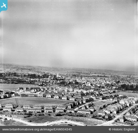
EAW004345 ENGLAND (1947). Housing surrounding Prebendal Avenue and the town, Aylesbury, from the south, 1947
© Copyright OpenStreetMap contributors and licensed by the OpenStreetMap Foundation. 2026. Cartography is licensed as CC BY-SA.
Nearby Images (14)
EAW004345

EAW004153

EAW004347

EAW004154A

EAW004344

EAW004342

EAW003747

EAW004341

EAW004346

EAW004343

EAW004151

EAW004340

EAW003748

EAW003750

Details
| Title | [EAW004345] Housing surrounding Prebendal Avenue and the town, Aylesbury, from the south, 1947 |
| Reference | EAW004345 |
| Date | 11-April-1947 |
| Link | |
| Place name | AYLESBURY |
| Parish | AYLESBURY |
| District | |
| Country | ENGLAND |
| Easting / Northing | 481622, 213139 |
| Longitude / Latitude | -0.81591087397798, 51.810472019017 |
| National Grid Reference | SP816131 |
Pins
Be the first to add a comment to this image!