
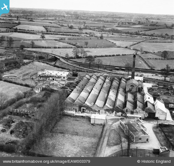
EAW003379 ENGLAND (1946). The Vedonis Works, Lutterworth, from the west, 1946
© Copyright OpenStreetMap contributors and licensed by the OpenStreetMap Foundation. 2026. Cartography is licensed as CC BY-SA.
Nearby Images (24)
EAW003379

EAW003381

EAW003380

EAW052452

EPW019709

EPW019711

EAW003376

EAW052456

EAW003373

EAW052453

EAW003374

EPW019710

EAW003371

EAW052457

EAW052459

EPW019708

EAW003378

EPW019712

EAW052454

EAW003377

EAW003372

EAW003375

EAW052458

EAW052455

Details
| Title | [EAW003379] The Vedonis Works, Lutterworth, from the west, 1946 |
| Reference | EAW003379 |
| Date | 26-November-1946 |
| Link | |
| Place name | LUTTERWORTH |
| Parish | LUTTERWORTH |
| District | |
| Country | ENGLAND |
| Easting / Northing | 454608, 284960 |
| Longitude / Latitude | -1.1962124401974, 52.459482822611 |
| National Grid Reference | SP546850 |
Pins

Sparky |
Thursday 10th of August 2017 12:26:38 PM |