
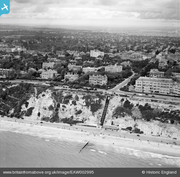
EAW002995 ENGLAND (1946). The East Cliff Railway and the town, Bournemouth, from the south-east, 1946
© Copyright OpenStreetMap contributors and licensed by the OpenStreetMap Foundation. 2026. Cartography is licensed as CC BY-SA.
Nearby Images (7)
EAW002995

EPW018152

EPR000659

EPW000250

EAW034623

EPW000276

EPW000279

Details
| Title | [EAW002995] The East Cliff Railway and the town, Bournemouth, from the south-east, 1946 |
| Reference | EAW002995 |
| Date | 3-October-1946 |
| Link | |
| Place name | BOURNEMOUTH |
| Parish | |
| District | |
| Country | ENGLAND |
| Easting / Northing | 409579, 90923 |
| Longitude / Latitude | -1.8642978000795, 50.717282071974 |
| National Grid Reference | SZ096909 |
Pins
Be the first to add a comment to this image!
User Comment Contributions

East Cliff Railway 02/01/2014 12.27hrs |

Class31 |
Friday 3rd of January 2014 06:37:15 PM |