
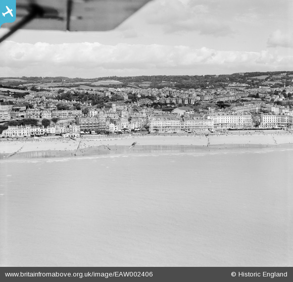
EAW002406 ENGLAND (1946). The town and seafront from White Rock to Carlisle Parade, Hastings, from the south-east, 1946
© Copyright OpenStreetMap contributors and licensed by the OpenStreetMap Foundation. 2026. Cartography is licensed as CC BY-SA.
Nearby Images (9)
EAW002406

EAW002405

EAW002407

EPW042839

EPW039370

EPW039369

EPW039366

EAW002404

EPW000115

Details
| Title | [EAW002406] The town and seafront from White Rock to Carlisle Parade, Hastings, from the south-east, 1946 |
| Reference | EAW002406 |
| Date | 16-September-1946 |
| Link | |
| Place name | HASTINGS |
| Parish | |
| District | |
| Country | ENGLAND |
| Easting / Northing | 581507, 109062 |
| Longitude / Latitude | 0.57891860257964, 50.85199666769 |
| National Grid Reference | TQ815091 |
Pins
Be the first to add a comment to this image!