
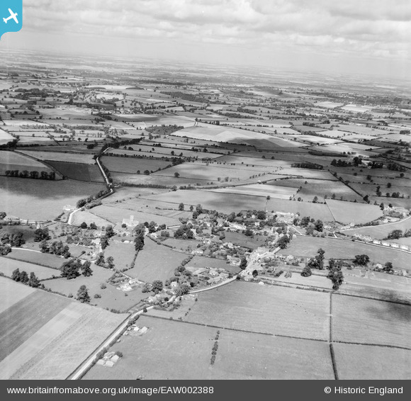
EAW002388 ENGLAND (1946). The village, Uffington, from the south-east, 1946
© Copyright OpenStreetMap contributors and licensed by the OpenStreetMap Foundation. 2026. Cartography is licensed as CC BY-SA.
Nearby Images (4)
EAW002388

EAW002386

EAW002387

EAW002385

Details
| Title | [EAW002388] The village, Uffington, from the south-east, 1946 |
| Reference | EAW002388 |
| Date | 10-September-1946 |
| Link | |
| Place name | UFFINGTON |
| Parish | UFFINGTON |
| District | |
| Country | ENGLAND |
| Easting / Northing | 430419, 189552 |
| Longitude / Latitude | -1.5607274491237, 51.603512710991 |
| National Grid Reference | SU304896 |
Pins
Be the first to add a comment to this image!