
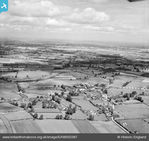
EAW002387 ENGLAND (1946). The village, Uffington, from the south, 1946
© Copyright OpenStreetMap contributors and licensed by the OpenStreetMap Foundation. 2026. Cartography is licensed as CC BY-SA.
Nearby Images (2)
EAW002387

EAW002388

Details
| Title | [EAW002387] The village, Uffington, from the south, 1946 |
| Reference | EAW002387 |
| Date | 10-September-1946 |
| Link | |
| Place name | UFFINGTON |
| Parish | UFFINGTON |
| District | |
| Country | ENGLAND |
| Easting / Northing | 430523, 189716 |
| Longitude / Latitude | -1.5592113817204, 51.604981783321 |
| National Grid Reference | SU305897 |
