
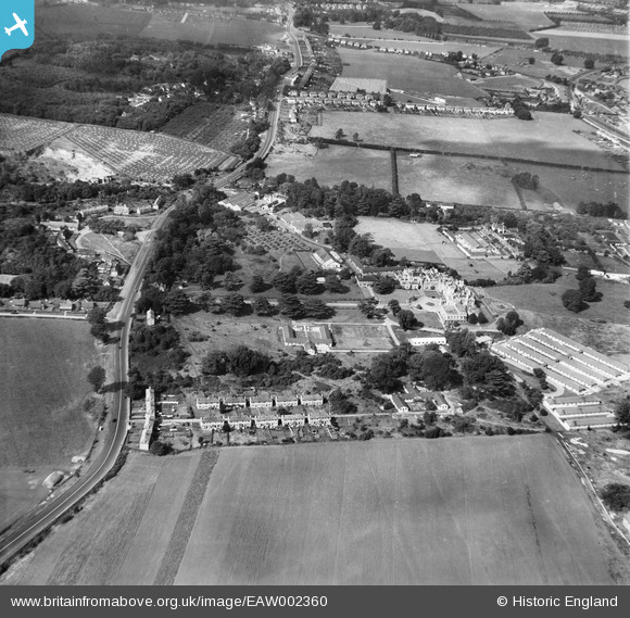
EAW002360 ENGLAND (1946). The British Legion Village and environs, Aylesford, 1946
© Copyright OpenStreetMap contributors and licensed by the OpenStreetMap Foundation. 2026. Cartography is licensed as CC BY-SA.
Nearby Images (5)
EAW002360

EAW002359

EAW002361

EAW002364

EAW002363

Details
| Title | [EAW002360] The British Legion Village and environs, Aylesford, 1946 |
| Reference | EAW002360 |
| Date | 9-September-1946 |
| Link | |
| Place name | AYLESFORD |
| Parish | AYLESFORD |
| District | |
| Country | ENGLAND |
| Easting / Northing | 572727, 157860 |
| Longitude / Latitude | 0.47761143255306, 51.293127146461 |
| National Grid Reference | TQ727579 |
Pins
Be the first to add a comment to this image!