
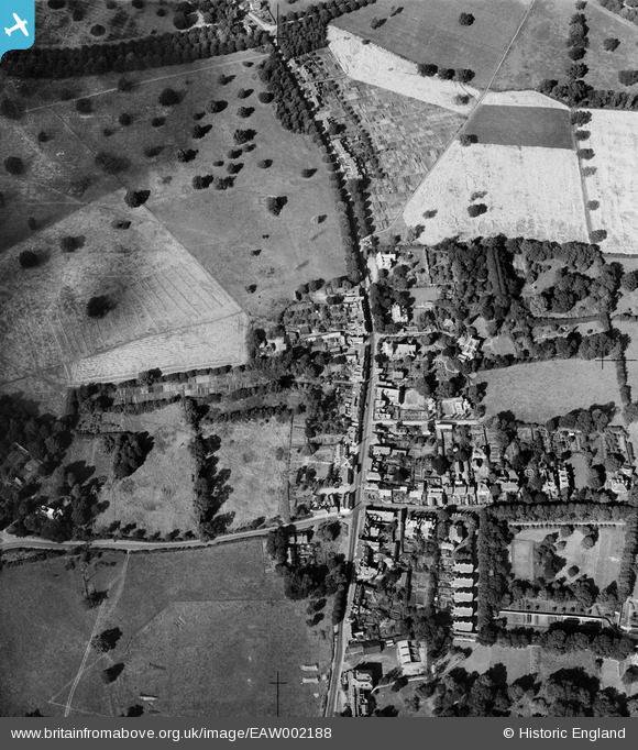
EAW002188 ENGLAND (1946). The village, Elstree, 1946
© Copyright OpenStreetMap contributors and licensed by the OpenStreetMap Foundation. 2026. Cartography is licensed as CC BY-SA.
Nearby Images (2)
EAW002188

EAW023666

Details
| Title | [EAW002188] The village, Elstree, 1946 |
| Reference | EAW002188 |
| Date | 15-August-1946 |
| Link | |
| Place name | ELSTREE |
| Parish | ELSTREE AND BOREHAMWOOD |
| District | |
| Country | ENGLAND |
| Easting / Northing | 517823, 195393 |
| Longitude / Latitude | -0.29696223286356, 51.64450930354 |
| National Grid Reference | TQ178954 |
Pins

Sparky |
Monday 18th of September 2017 02:48:18 PM | |
|
Sparky |
Monday 18th of September 2017 02:47:18 PM | |

John W |
Friday 3rd of March 2017 09:44:10 PM | |
|
John W |
Friday 3rd of March 2017 09:43:22 PM | |
|
John W |
Friday 3rd of March 2017 09:42:48 PM | |
|
John W |
Friday 3rd of March 2017 09:42:23 PM | |
|
John W |
Friday 3rd of March 2017 09:41:59 PM |