
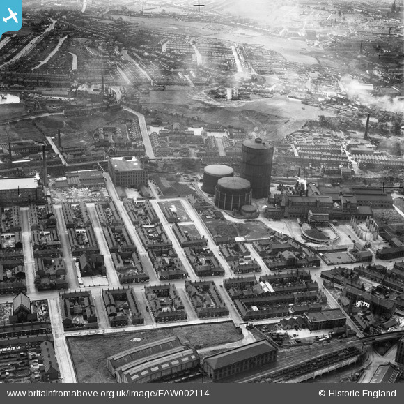
EAW002114 ENGLAND (1946). Portwood Gas Works and environs, Stockport, 1946
© Copyright OpenStreetMap contributors and licensed by the OpenStreetMap Foundation. 2026. Cartography is licensed as CC BY-SA.
Nearby Images (10)
EAW002114

EAW002110

EAW002111

EAW002113

EAW002116

EAW002115

EAW002112

EAW002109

EAW002118

EAW002117

Details
| Title | [EAW002114] Portwood Gas Works and environs, Stockport, 1946 |
| Reference | EAW002114 |
| Date | 1-August-1946 |
| Link | |
| Place name | STOCKPORT |
| Parish | |
| District | |
| Country | ENGLAND |
| Easting / Northing | 390187, 390701 |
| Longitude / Latitude | -2.1476479195898, 53.412767068706 |
| National Grid Reference | SJ902907 |
