
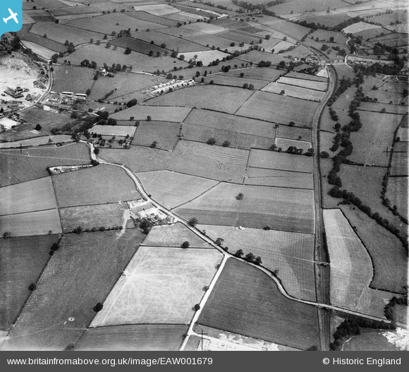
EAW001679 ENGLAND (1946). Fields to the east of the village, Breedon on the Hill, 1946
© Copyright OpenStreetMap contributors and licensed by the OpenStreetMap Foundation. 2025. Cartography is licensed as CC BY-SA.
Nearby Images (2)
EAW001679

EAW001678

Details
| Title | [EAW001679] Fields to the east of the village, Breedon on the Hill, 1946 |
| Reference | EAW001679 |
| Date | 12-July-1946 |
| Link | |
| Place name | BREEDON ON THE HILL |
| Parish | BREEDON ON THE HILL |
| District | |
| Country | ENGLAND |
| Easting / Northing | 441093, 322546 |
| Longitude / Latitude | -1.3904512599221, 52.798575696563 |
| National Grid Reference | SK411225 |
Pins
Be the first to add a comment to this image!