
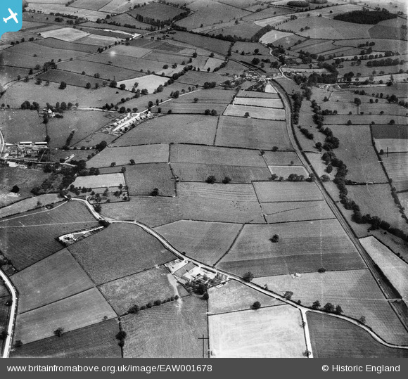
EAW001678 ENGLAND (1946). Fields to the east of the village, Breedon on the Hill, 1946
© Copyright OpenStreetMap contributors and licensed by the OpenStreetMap Foundation. 2025. Cartography is licensed as CC BY-SA.
Nearby Images (3)
EAW001678

EAW001679

EAW001689

Details
| Title | [EAW001678] Fields to the east of the village, Breedon on the Hill, 1946 |
| Reference | EAW001678 |
| Date | 12-July-1946 |
| Link | |
| Place name | BREEDON ON THE HILL |
| Parish | BREEDON ON THE HILL |
| District | |
| Country | ENGLAND |
| Easting / Northing | 441158, 322689 |
| Longitude / Latitude | -1.3894691456512, 52.799856312381 |
| National Grid Reference | SK412227 |
Pins

rd84 |
Wednesday 25th of December 2013 06:11:14 PM |