
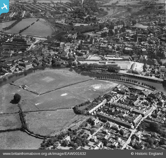
EAW001632 ENGLAND (1946). The River Severn at Mountfields, Shrewsbury, 1946
© Copyright OpenStreetMap contributors and licensed by the OpenStreetMap Foundation. 2026. Cartography is licensed as CC BY-SA.
Nearby Images (8)
EAW001632

EAW001631

EAW012514

EPW017985

EPW017973

EPW040077

EAW012516

EAW001629

Details
| Title | [EAW001632] The River Severn at Mountfields, Shrewsbury, 1946 |
| Reference | EAW001632 |
| Date | 12-July-1946 |
| Link | |
| Place name | SHREWSBURY |
| Parish | SHREWSBURY |
| District | |
| Country | ENGLAND |
| Easting / Northing | 349174, 312926 |
| Longitude / Latitude | -2.7524182029056, 52.711264416871 |
| National Grid Reference | SJ492129 |
Pins

Matt Aldred edob.mattaldred.com |
Sunday 6th of February 2022 08:51:04 PM | |

Sparky |
Friday 22nd of September 2017 04:12:50 PM |