
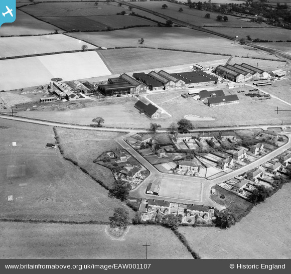
EAW001107 ENGLAND (1946). The Chatwood Safe Co Ltd Works and Harlescott Crescent, Harlescott, 1946
© Copyright OpenStreetMap contributors and licensed by the OpenStreetMap Foundation. 2026. Cartography is licensed as CC BY-SA.
Nearby Images (40)
EAW001107

EAW000396

EAW001106

EAW001110

EAW001621

EAW000397

EAW001623

EPW023301

EAW000398

EPW023300

EAW001624

EAW000395

EAW000394

EPW023303

EAW001625

EAW000399

EAW001109

EAW001626

EAW001622

EPW028835

EAW001620

EPW023304

EAW000393

EPW028833

EAW001619

EPW028836

EPW028839

EPW028832

EPW023336

EPW028831

EAW001627

EPW028838

EAW001111

EPW028841

EPW028834

EPW028840

EPW028837

EPW023334

EPW023339

EPW023305

Details
| Title | [EAW001107] The Chatwood Safe Co Ltd Works and Harlescott Crescent, Harlescott, 1946 |
| Reference | EAW001107 |
| Date | 7-June-1946 |
| Link | |
| Place name | HARLESCOTT |
| Parish | SHREWSBURY |
| District | |
| Country | ENGLAND |
| Easting / Northing | 350576, 316088 |
| Longitude / Latitude | -2.7321410937385, 52.73982035444 |
| National Grid Reference | SJ506161 |
Pins

totoro |
Wednesday 27th of November 2013 10:39:19 PM | |
|
totoro |
Wednesday 27th of November 2013 10:37:53 PM | |
|
totoro |
Wednesday 27th of November 2013 10:36:07 PM | |
|
totoro |
Wednesday 27th of November 2013 10:34:46 PM |
User Comment Contributions
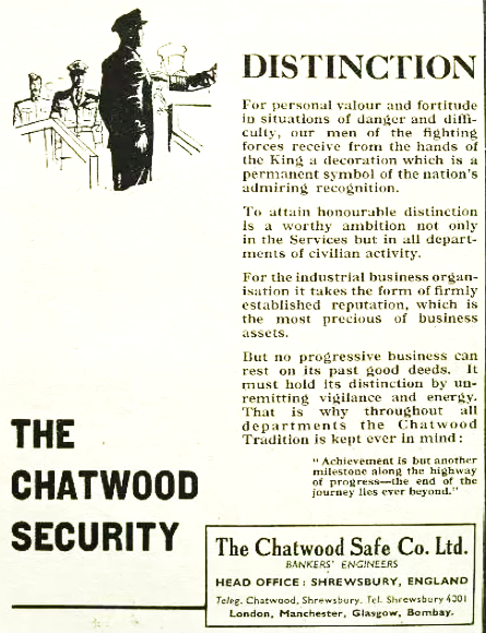
Advert from Punch magazine 1942 |
totoro |
Wednesday 27th of November 2013 10:58:44 PM |