
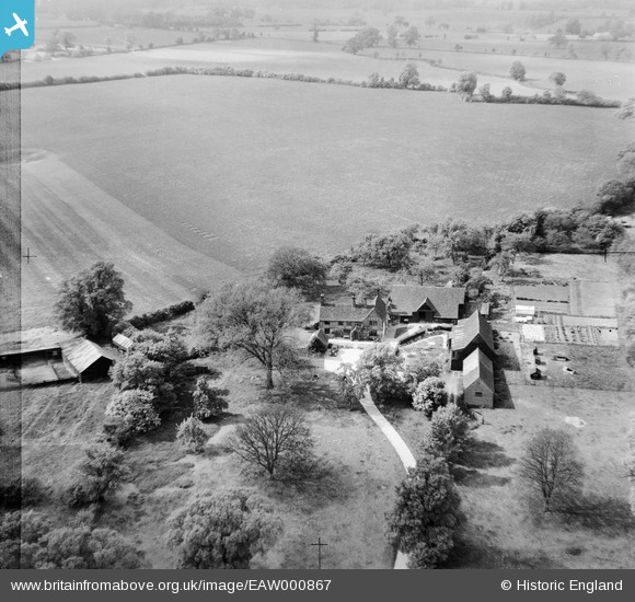
EAW000867 ENGLAND (1946). Tallents Farm, Kimpton, 1946
© Copyright OpenStreetMap contributors and licensed by the OpenStreetMap Foundation. 2026. Cartography is licensed as CC BY-SA.
Nearby Images (2)
EAW000867

EAW000868

Details
| Title | [EAW000867] Tallents Farm, Kimpton, 1946 |
| Reference | EAW000867 |
| Date | 15-May-1946 |
| Link | |
| Place name | KIMPTON |
| Parish | KIMPTON |
| District | |
| Country | ENGLAND |
| Easting / Northing | 515973, 217834 |
| Longitude / Latitude | -0.31620582608069, 51.846599517805 |
| National Grid Reference | TL160178 |
Pins
Be the first to add a comment to this image!