
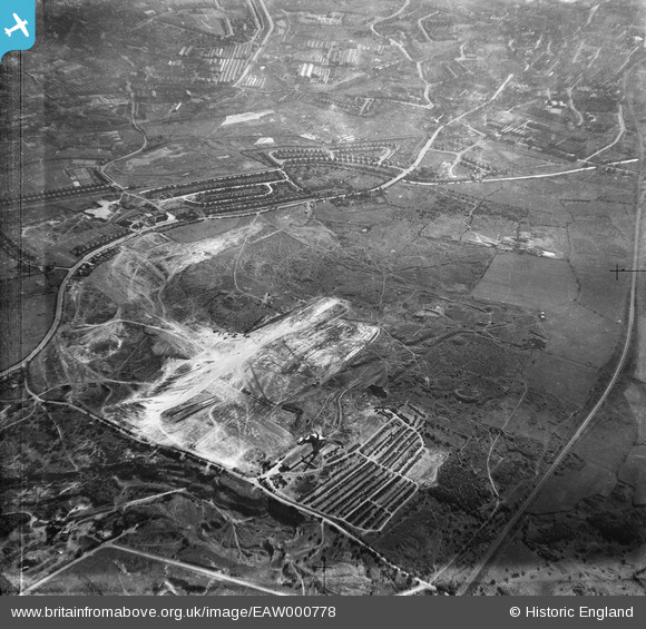
EAW000778 ENGLAND (1946). Industrial land adjacent to Wolverhampton Road, Bentley 1946
© Copyright OpenStreetMap contributors and licensed by the OpenStreetMap Foundation. 2025. Cartography is licensed as CC BY-SA.
Nearby Images (4)
EAW000778

EAW000775

EAW000774

EAW047013

Details
| Title | [EAW000778] Industrial land adjacent to Wolverhampton Road, Bentley 1946 |
| Reference | EAW000778 |
| Date | 11-May-1946 |
| Link | |
| Place name | BENTLEY |
| Parish | |
| District | |
| Country | ENGLAND |
| Easting / Northing | 398617, 299114 |
| Longitude / Latitude | -2.0204166993748, 52.589469647886 |
| National Grid Reference | SO986991 |
Pins

Bentleyboy |
Tuesday 8th of April 2014 06:03:38 PM | |
|
Bentleyboy |
Tuesday 8th of April 2014 06:01:55 PM | |
|
Martin |
Thursday 26th of December 2013 02:22:34 PM |