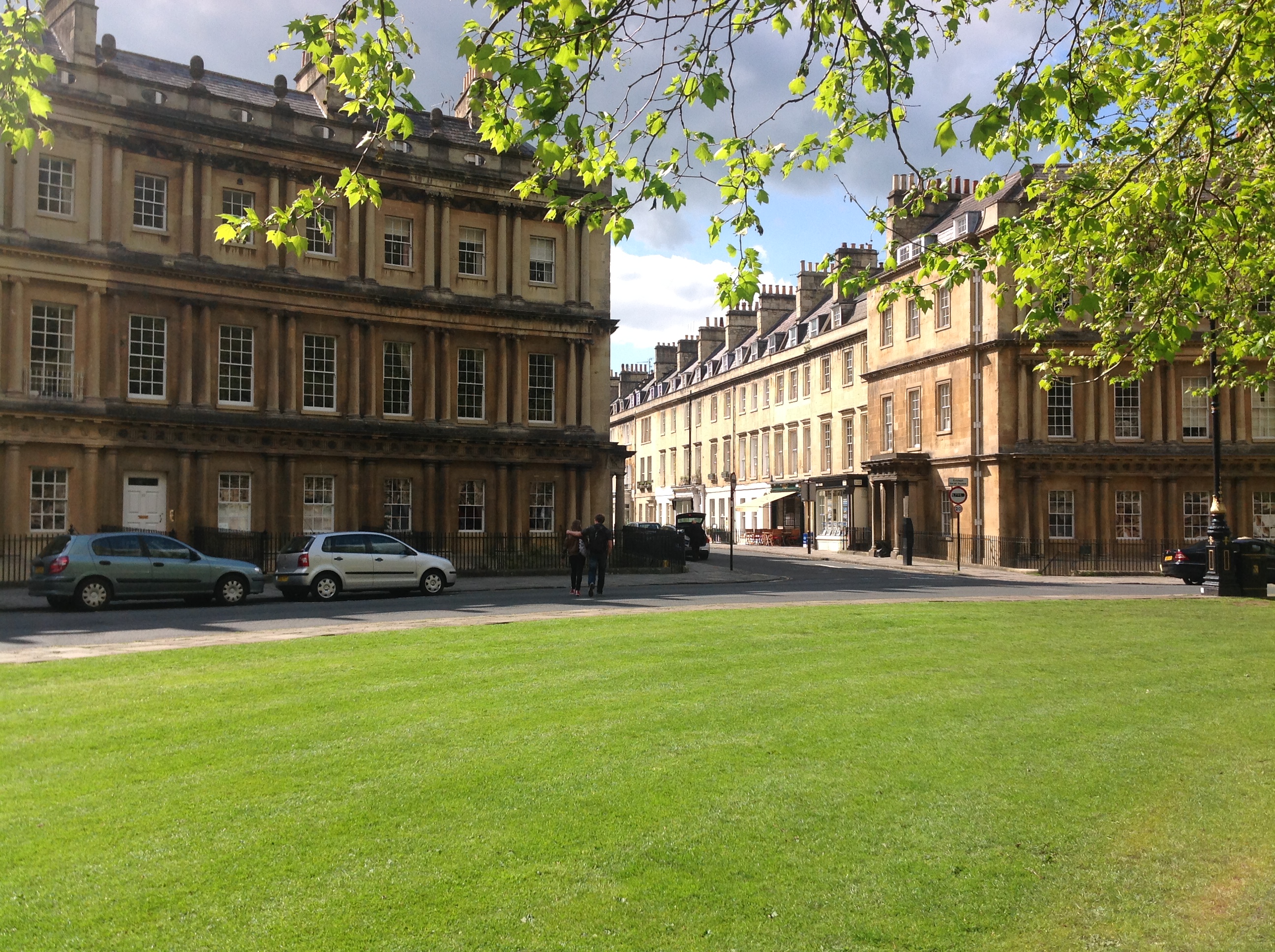
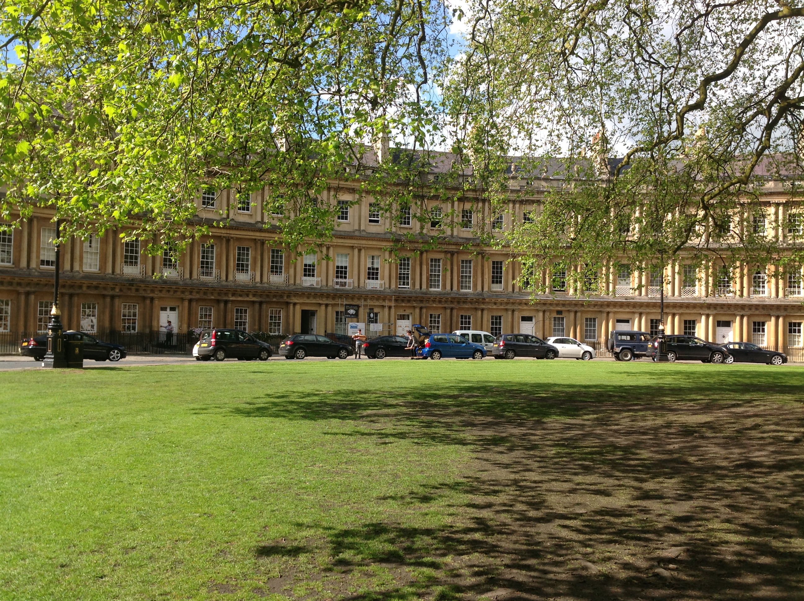
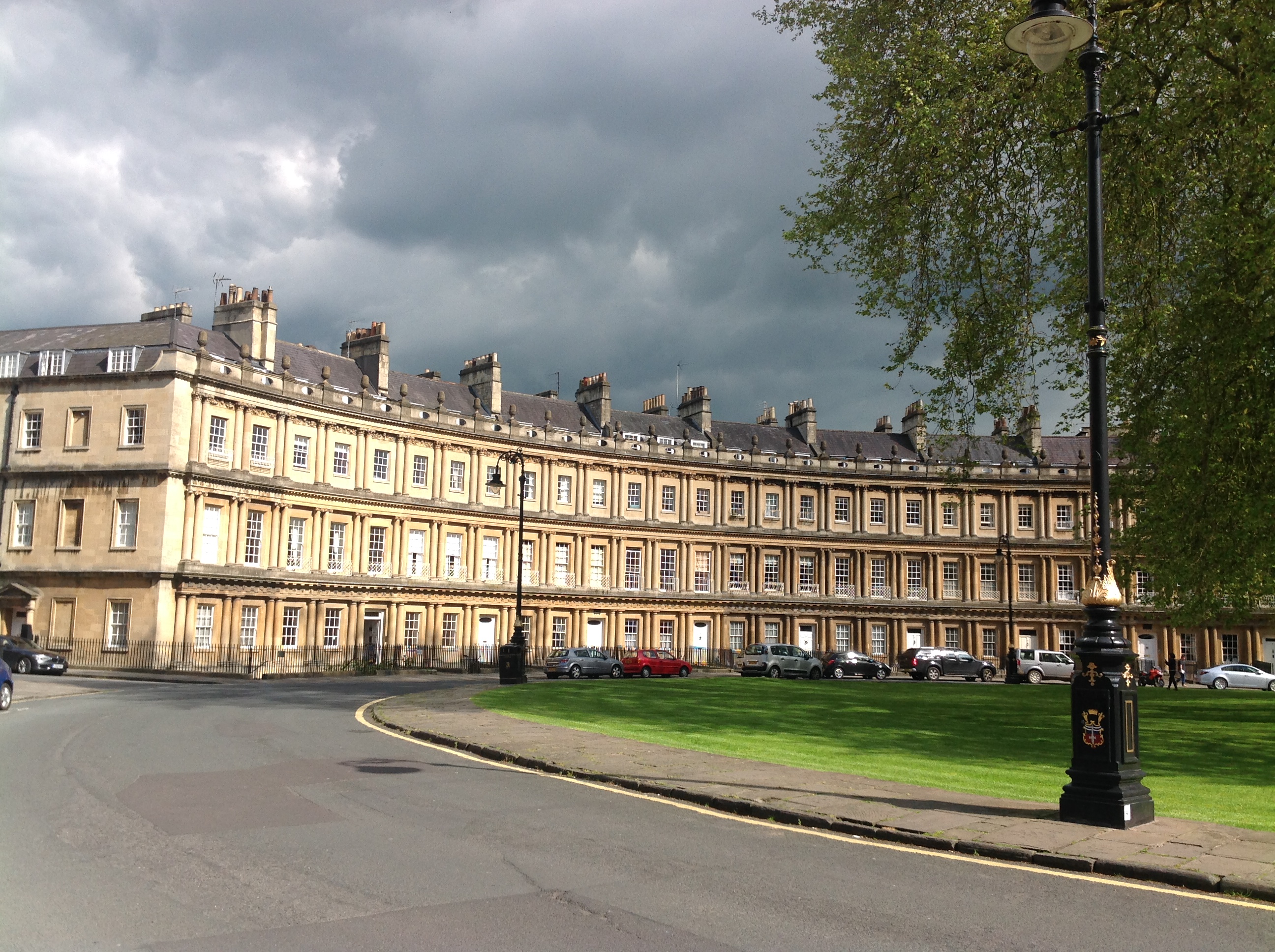
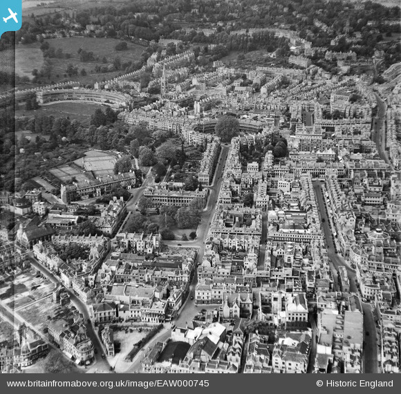
EAW000745 ENGLAND (1946). Gay Street, The Circus and environs, Bath, 1946
© Copyright OpenStreetMap contributors and licensed by the OpenStreetMap Foundation. 2026. Cartography is licensed as CC BY-SA.
Nearby Images (15)
EAW000745

EAW000744

EPW033154

EPR000133

EPW001951

EPW001952

EPW053149

EAW049897

EPW001946

EPW048393

EAW049896

EPR000129

EPW053134

EPW048392

EPW053137

Details
| Title | [EAW000745] Gay Street, The Circus and environs, Bath, 1946 |
| Reference | EAW000745 |
| Date | 9-May-1946 |
| Link | |
| Place name | BATH |
| Parish | |
| District | |
| Country | ENGLAND |
| Easting / Northing | 374787, 165097 |
| Longitude / Latitude | -2.3623482210291, 51.383862360742 |
| National Grid Reference | ST748651 |
Pins
Be the first to add a comment to this image!