
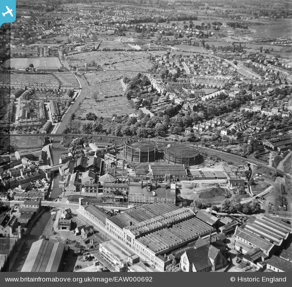
EAW000692 ENGLAND (1946). The Gaslight Co Gas Works, Worcester, 1946. This image has been produced from a damaged negative.
© Copyright OpenStreetMap contributors and licensed by the OpenStreetMap Foundation. 2026. Cartography is licensed as CC BY-SA.
Nearby Images (14)
EAW000692

EPW044991

EAW000694

EPW044985

EAW000691

EPW044988

EAW000696

EPW044990

EPW044986

EAW000695

EAW000693

EPW044987

EPW044989

EAW000697

Details
| Title | [EAW000692] The Gaslight Co Gas Works, Worcester, 1946. This image has been produced from a damaged negative. |
| Reference | EAW000692 |
| Date | 10-May-1946 |
| Link | |
| Place name | WORCESTER |
| Parish | |
| District | |
| Country | ENGLAND |
| Easting / Northing | 385494, 255533 |
| Longitude / Latitude | -2.212257540471, 52.197437667135 |
| National Grid Reference | SO855555 |


