
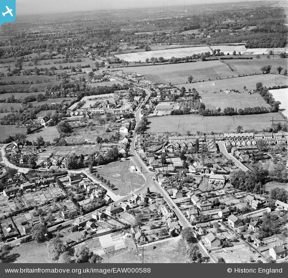
EAW000588 ENGLAND (1946). The village and surrounding countryside, Frimley Green, from the south, 1946
© Copyright OpenStreetMap contributors and licensed by the OpenStreetMap Foundation. 2026. Cartography is licensed as CC BY-SA.
Nearby Images (6)
EAW000588

EAW000586

EAW000592

EAW000590

EPW044881

EAW000591

Details
| Title | [EAW000588] The village and surrounding countryside, Frimley Green, from the south, 1946 |
| Reference | EAW000588 |
| Date | 10-May-1946 |
| Link | |
| Place name | FRIMLEY GREEN |
| Parish | |
| District | |
| Country | ENGLAND |
| Easting / Northing | 488814, 156638 |
| Longitude / Latitude | -0.7258779248721, 51.301421708054 |
| National Grid Reference | SU888566 |
Pins

Paul Hellyer |
Friday 8th of March 2019 07:02:13 PM | |

Sparky |
Tuesday 26th of September 2017 01:46:22 PM |