
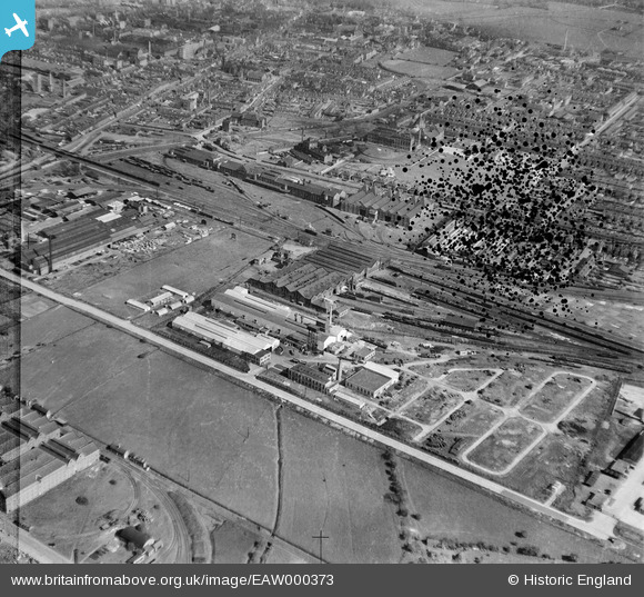
EAW000373 ENGLAND (1946). F.H. Lloyd & Co Foundry and environs, Shobnall, 1946. This image has been produced from a damaged negative.
© Copyright OpenStreetMap contributors and licensed by the OpenStreetMap Foundation. 2026. Cartography is licensed as CC BY-SA.
Nearby Images (29)
EAW000373

EAW000372

EAW000376

EAW000377

EAW000375

EAW052804

EAW000371

EAW000374

EAW000370

EAW052801

EAW051786

EAW000369

EAW052802

EAW052805

EAW052803

EPW047939

EPW047941

EAW052798

EAW052799

EAW052800

EPW047937

EPW047936

EPW047938

EAW051783

EAW028599

EPW047935

EPW047940

EAW028598

EAW051788

Details
| Title | [EAW000373] F.H. Lloyd & Co Foundry and environs, Shobnall, 1946. This image has been produced from a damaged negative. |
| Reference | EAW000373 |
| Date | 16-April-1946 |
| Link | |
| Place name | SHOBNALL |
| Parish | SHOBNALL |
| District | |
| Country | ENGLAND |
| Easting / Northing | 423671, 322654 |
| Longitude / Latitude | -1.6488636263711, 52.800592579449 |
| National Grid Reference | SK237227 |
Pins
Be the first to add a comment to this image!