
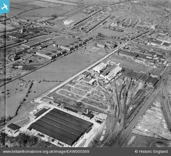
EAW000369 ENGLAND (1946). F.H. Lloyd & Co Foundry and environs, Shobnall, 1946
© Copyright OpenStreetMap contributors and licensed by the OpenStreetMap Foundation. 2026. Cartography is licensed as CC BY-SA.
Nearby Images (16)
EAW000369

EAW000374

EAW000371

EAW000375

EAW000370

EAW000376

EAW000377

EAW000372

EAW000373

EAW052804

EAW052801

EAW052802

EAW052805

EPW047941

EPW047937

EPW047935

Details
| Title | [EAW000369] F.H. Lloyd & Co Foundry and environs, Shobnall, 1946 |
| Reference | EAW000369 |
| Date | 16-April-1946 |
| Link | |
| Place name | SHOBNALL |
| Parish | SHOBNALL |
| District | |
| Country | ENGLAND |
| Easting / Northing | 423514, 322646 |
| Longitude / Latitude | -1.6511930976583, 52.80052752411 |
| National Grid Reference | SK235226 |
