
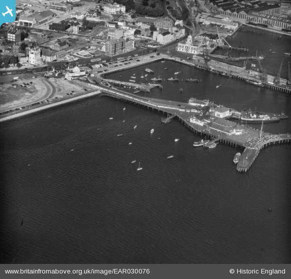
EAR030076 ENGLAND (1957). Royal Pier, Southamton, 1957
© Copyright OpenStreetMap contributors and licensed by the OpenStreetMap Foundation. 2026. Cartography is licensed as CC BY-SA.
Nearby Images (8)
EAR030076

EAW022289

EPW009072

EPW032341

EPW041067

EPW041066

EPW020447

EAW001359

Details
| Title | [EAR030076] Royal Pier, Southamton, 1957 |
| Reference | EAR030076 |
| Date | 21-August-1957 |
| Link | |
| Place name | SOUTHAMPTON |
| Parish | NON CIVIL PARISH |
| District | |
| Country | ENGLAND |
| Easting / Northing | 441684, 110859 |
| Longitude / Latitude | -1.4072294221457, 50.895152092914 |
| National Grid Reference | SU417109 |
Pins

Andy Russel |
Sunday 30th of April 2023 08:54:49 PM | |
|
Andy Russel |
Sunday 30th of April 2023 08:48:03 PM | |
|
Andy Russel |
Sunday 30th of April 2023 08:45:53 PM | |
|
hrothery8 |
Sunday 7th of June 2020 05:56:19 PM |