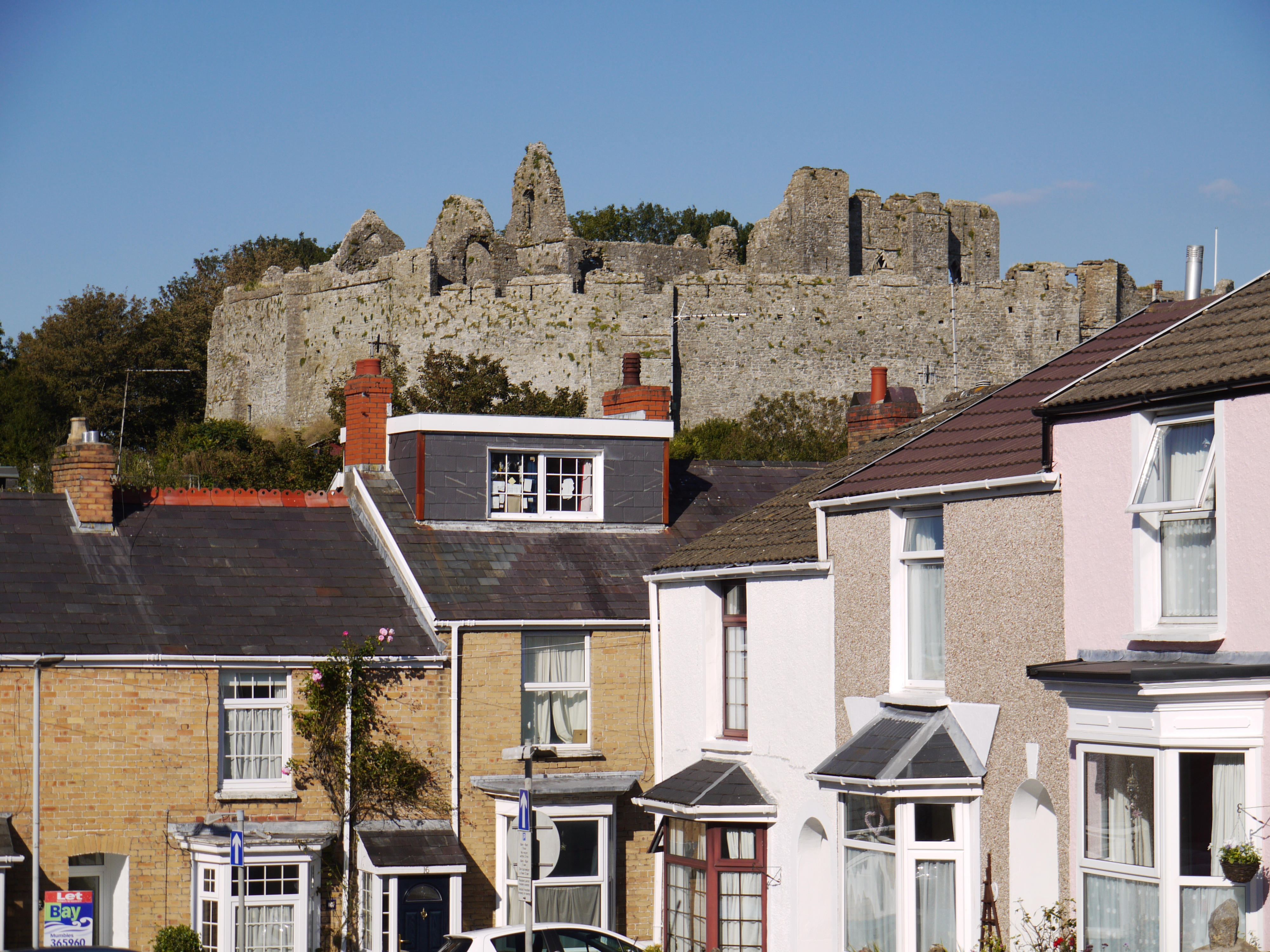
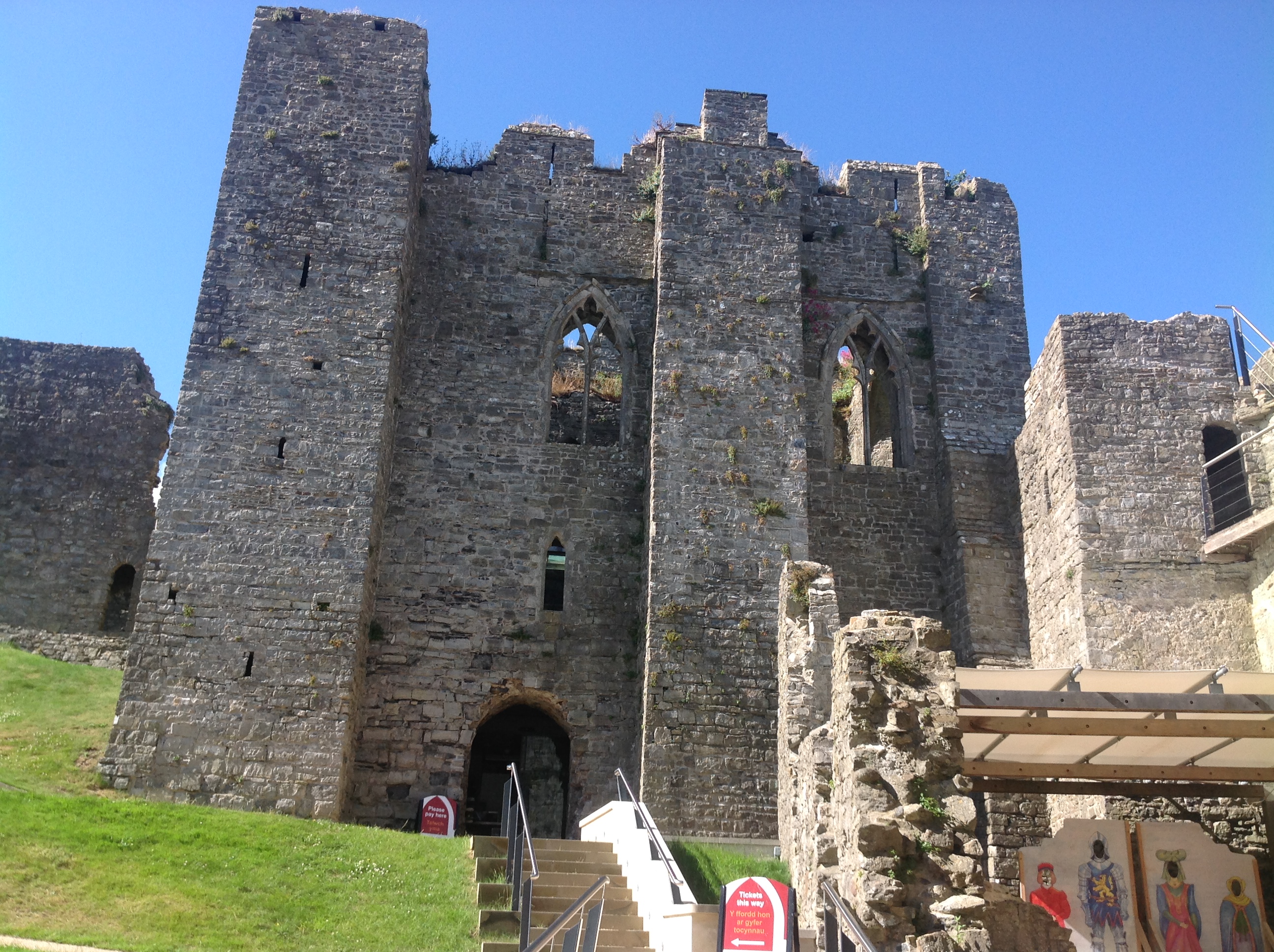
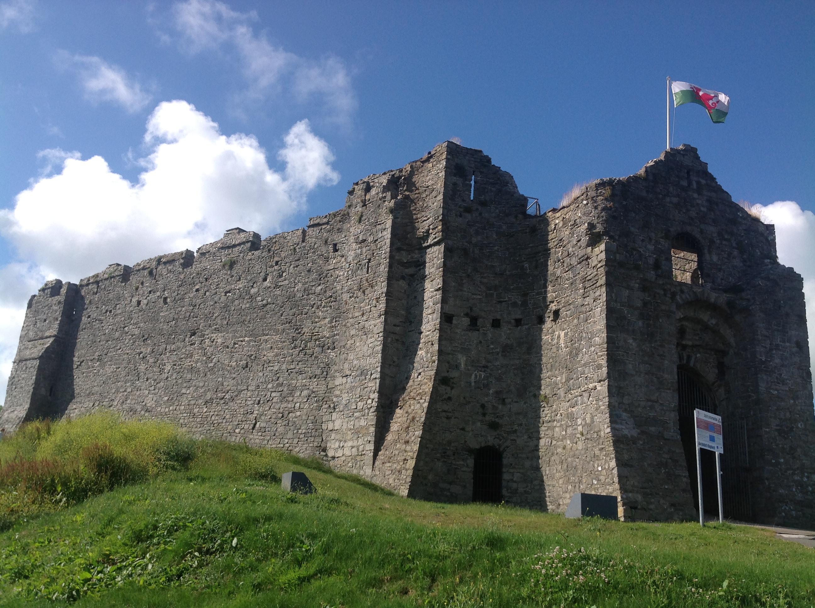
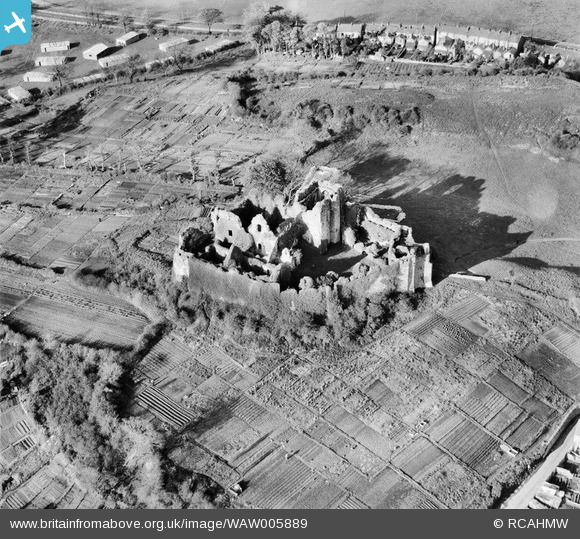
WAW005889 WALES (1947). View of Oystermouth Castle, Mumbles
© Copyright OpenStreetMap contributors and licensed by the OpenStreetMap Foundation. 2024. Cartography is licensed as CC BY-SA.
Nearby Images (19)
WAW005887

WAW005888

WAW005889

WAW005890

WAW007661

WAW007662

WAW007663

WAW007664

WAW007666

WAW007978

WAW007979

WAW007980

WAW007981

WAW007982

WAW007983

WAW023850

WAW023851

WAW023852

WAW023853

Details
| Title | [WAW005889] View of Oystermouth Castle, Mumbles |
| Reference | WAW005889 |
| Date | 15-May-1947 |
| Link | Coflein Archive Item 6413363 |
| Place name | |
| Parish | |
| District | |
| Country | WALES |
| Easting / Northing | 261320, 188360 |
| Longitude / Latitude | -4.0015429202709, 51.576547560667 |
| National Grid Reference | SS613884 |
Pins
 redmist |
Thursday 20th of May 2021 04:52:07 PM |