
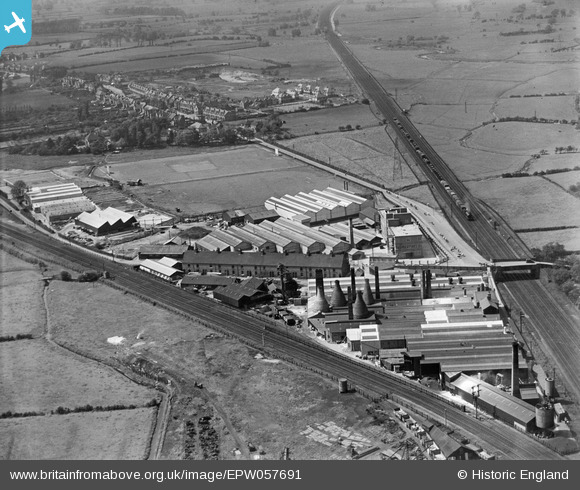
EPW057691 ENGLAND (1938). The Universal Grinding Wheel Co Ltd Works on Doxey Road, Doxey, 1938
© Copyright OpenStreetMap contributors and licensed by the OpenStreetMap Foundation. 2024. Cartography is licensed as CC BY-SA.
Nearby Images (48)
EPW057691

EAW000389

EPW057687

EAW000386

EPW057688

EPW057689

EAW000391

EPW057690

EAW000387

EAW000388

EAW000899

EPW046126

EPW046127

EAW000903

EAW000390

EAW000900

EPW046128

EAW000904

EAW000392

EAW000901

EPW046124

EAW021607

EPW046125

EAW000898

EPW046129

EPW057686

EPW046130

EAW021605

EAW001874

EAW000385

EAW001868

EAW001869

EAW021496

EAW001873

EAW021498

EAW021602

EAW001872

EAW021601

EAW021604

EAW021608

EAW021600

EAW000902

EAW001871

EAW021603

EPW046131

EAW001870

EAW021497

EAW015407

Details
| Title | [EPW057691] The Universal Grinding Wheel Co Ltd Works on Doxey Road, Doxey, 1938 |
| Reference | EPW057691 |
| Date | 17-June-1938 |
| Link | |
| Place name | DOXEY |
| Parish | DOXEY |
| District | |
| Country | ENGLAND |
| Easting / Northing | 391225, 323381 |
| Longitude / Latitude | -2.1301893008765, 52.807576719507 |
| National Grid Reference | SJ912234 |
Pins
 Billy Turner |
Monday 7th of December 2015 06:38:41 PM | |
Billy Turner |
Monday 7th of December 2015 06:24:25 PM | |
 cidge |
Tuesday 26th of November 2013 09:24:36 AM | |
 bescotbeast |
Saturday 14th of September 2013 04:04:48 PM | |
bescotbeast |
Saturday 14th of September 2013 04:03:23 PM | |
 totoro |
Friday 26th of July 2013 09:48:32 PM | |
totoro |
Friday 26th of July 2013 09:46:14 PM | |
totoro |
Friday 26th of July 2013 09:44:26 PM | |
totoro |
Friday 26th of July 2013 09:43:02 PM | |
totoro |
Friday 26th of July 2013 09:39:01 PM | |
totoro |
Friday 26th of July 2013 09:35:47 PM | |
The division takes place South of Stafford station, which is out of shot to the South of the photograph. |
cidge |
Tuesday 26th of November 2013 10:41:11 AM |
totoro |
Friday 26th of July 2013 09:33:38 PM | |
totoro |
Friday 26th of July 2013 09:29:10 PM |


User Comment Contributions
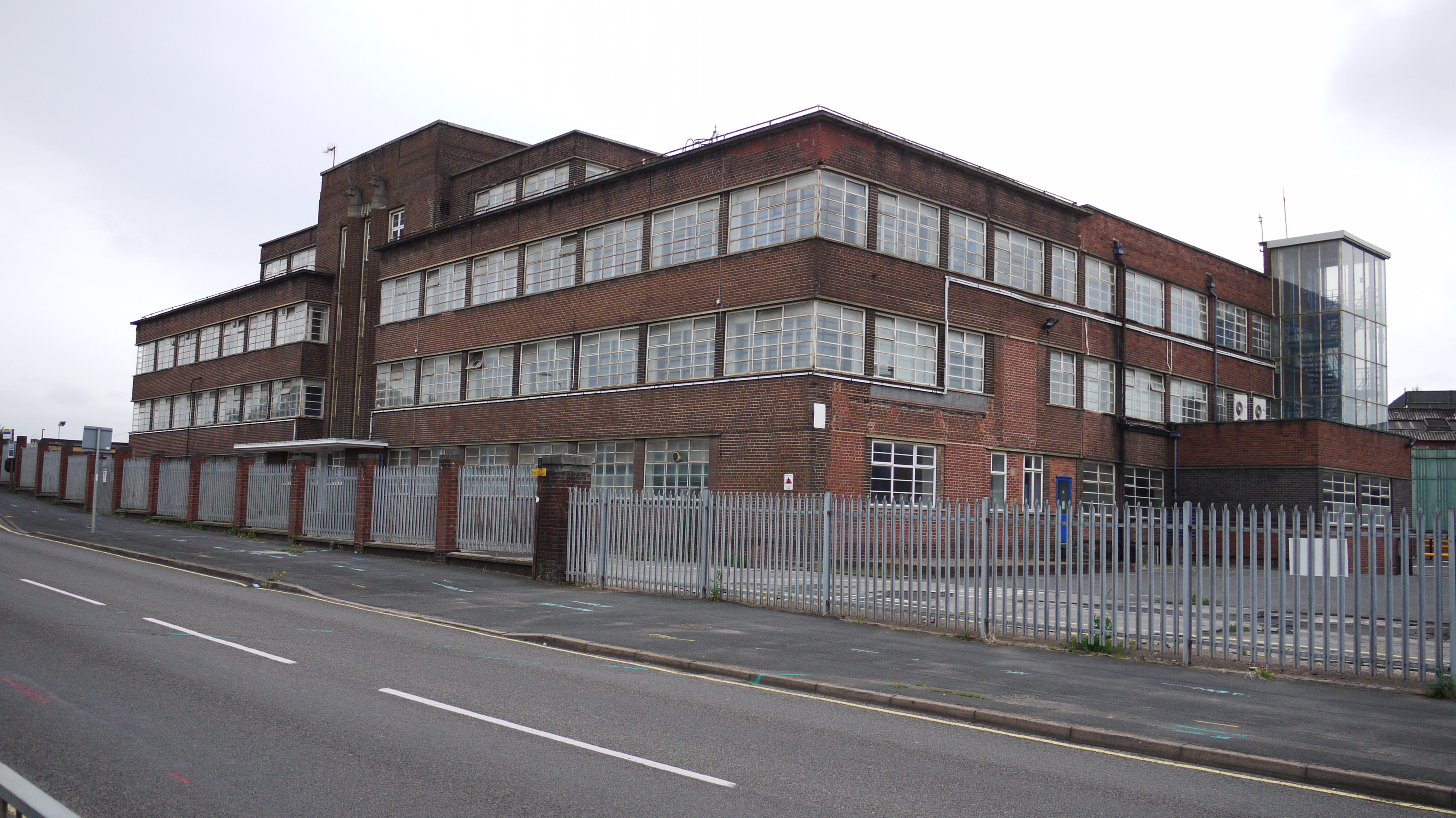 Doxey Road, Stafford, 13/08/2015 |
 Class31 |
Saturday 29th of August 2015 10:07:19 PM |


