
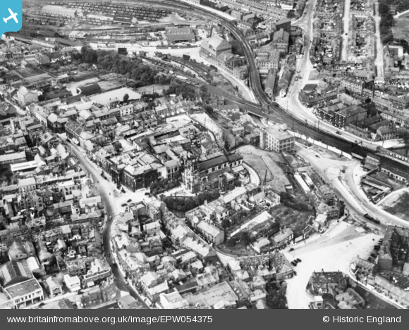
EPW054375 ENGLAND (1937). St Michael's Church, the Market Place and environs, Macclesfield, 1937. This image has been produced from a copy-negative.
© Copyright OpenStreetMap contributors and licensed by the OpenStreetMap Foundation. 2024. Cartography is licensed as CC BY-SA.
Nearby Images (10)
EPW054375

EPW057375

EPW057634

EPW016737

EPW054380

EPW054378

EPW057639

EPW054379

EPW057374

EPW054374

Details
| Title | [EPW054375] St Michael's Church, the Market Place and environs, Macclesfield, 1937. This image has been produced from a copy-negative. |
| Reference | EPW054375 |
| Date | 20-July-1937 |
| Link | |
| Place name | MACCLESFIELD |
| Parish | |
| District | |
| Country | ENGLAND |
| Easting / Northing | 391811, 373736 |
| Longitude / Latitude | -2.1227742759749, 53.260284726968 |
| National Grid Reference | SJ918737 |
Pins
 jonnyhud |
Saturday 19th of March 2016 01:10:13 PM |


