
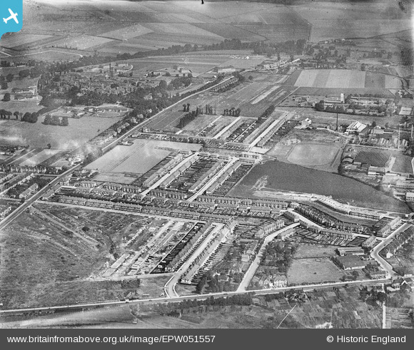
EPW051557 ENGLAND (1936). Housing development off Primrose Avenue and environs, Seven Kings, 1936
© Copyright OpenStreetMap contributors and licensed by the OpenStreetMap Foundation. 2024. Cartography is licensed as CC BY-SA.
Nearby Images (8)
EPW051557

EPW051561

EPW051564

EPW051560

EPW051558

EPW046796

EPW051559

EPW046777

Details
| Title | [EPW051557] Housing development off Primrose Avenue and environs, Seven Kings, 1936 |
| Reference | EPW051557 |
| Date | August-1936 |
| Link | |
| Place name | SEVEN KINGS |
| Parish | |
| District | |
| Country | ENGLAND |
| Easting / Northing | 546687, 188108 |
| Longitude / Latitude | 0.11691863970173, 51.572256068096 |
| National Grid Reference | TQ467881 |
Pins
Be the first to add a comment to this image!


