
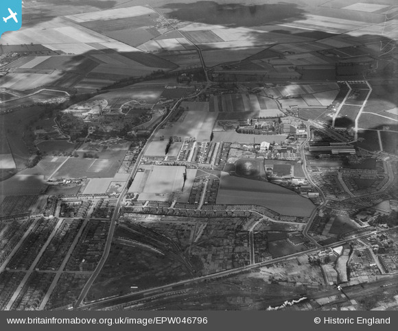
EPW046796 ENGLAND (1935). The Ship Carbon Co Works, Goodmayes Hospital and the surrounding area, Little Heath, 1935
© Copyright OpenStreetMap contributors and licensed by the OpenStreetMap Foundation. 2024. Cartography is licensed as CC BY-SA.
Nearby Images (19)
EPW046796

EPW046786

EPW046792

EPW046787

EPW046784

EPW051564

EPW046785

EPW046782

EPW051557

EPW046791

EPW046777

EPW051561

EPW046783

EPW046778

EPW046789

EAW020749

EAW020748

EPW046788

EAW020746

Details
| Title | [EPW046796] The Ship Carbon Co Works, Goodmayes Hospital and the surrounding area, Little Heath, 1935 |
| Reference | EPW046796 |
| Date | April-1935 |
| Link | |
| Place name | LITTLE HEATH |
| Parish | |
| District | |
| Country | ENGLAND |
| Easting / Northing | 546711, 188318 |
| Longitude / Latitude | 0.1173524555303, 51.574136934676 |
| National Grid Reference | TQ467883 |
Pins
Be the first to add a comment to this image!


