
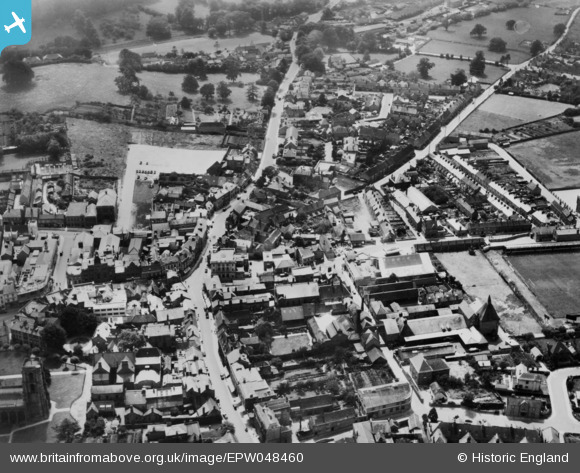
EPW048460 ENGLAND (1935). Hendford and West Hendford, Yeovil, 1935. This image has been produced from a copy-negative.
© Copyright OpenStreetMap contributors and licensed by the OpenStreetMap Foundation. 2024. Cartography is licensed as CC BY-SA.
Nearby Images (10)
EPW048460

EAW051930

EPW048462

EPW024010

EAW051183

EAW051190

EPW024009

EPW024008

EAW051184

EPW024027

Details
| Title | [EPW048460] Hendford and West Hendford, Yeovil, 1935. This image has been produced from a copy-negative. |
| Reference | EPW048460 |
| Date | July-1935 |
| Link | |
| Place name | YEOVIL |
| Parish | YEOVIL |
| District | |
| Country | ENGLAND |
| Easting / Northing | 355480, 115917 |
| Longitude / Latitude | -2.6337151107307, 50.940426221803 |
| National Grid Reference | ST555159 |
Pins
 Class31 |
Sunday 1st of February 2015 05:21:25 PM |


