
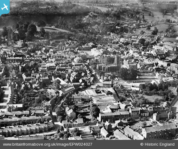
EPW024027 ENGLAND (1928). The town centre, Yeovil, 1928
© Copyright OpenStreetMap contributors and licensed by the OpenStreetMap Foundation. 2024. Cartography is licensed as CC BY-SA.
Nearby Images (18)
EPW024027

EAW051185

EPW024008

EPW024009

EAW051929

EAW051188

EPW011725

EAW051183

EAW051187

EPW024010

EPW048462

EPW024007

EAW051186

EAW051189

EAW051930

EPW024015

EPW011726

EPW048460

Details
| Title | [EPW024027] The town centre, Yeovil, 1928 |
| Reference | EPW024027 |
| Date | September-1928 |
| Link | |
| Place name | YEOVIL |
| Parish | YEOVIL |
| District | |
| Country | ENGLAND |
| Easting / Northing | 355720, 116062 |
| Longitude / Latitude | -2.6303167092624, 50.941748667884 |
| National Grid Reference | ST557161 |
Pins
 MyCat |
Sunday 8th of June 2014 06:10:05 PM | |
 Alan McFaden |
Sunday 13th of April 2014 10:05:35 AM | |
 Class31 |
Thursday 7th of November 2013 08:55:41 PM | |
JMW |
Friday 5th of October 2012 09:38:55 AM | |
Class31 |
Saturday 29th of September 2012 08:55:00 PM | |
Class31 |
Saturday 29th of September 2012 08:53:32 PM | |
Class31 |
Saturday 29th of September 2012 08:52:32 PM | |
Class31 |
Saturday 29th of September 2012 08:51:54 PM | |
MB |
Monday 3rd of September 2012 01:36:28 PM | |
MB |
Monday 3rd of September 2012 01:35:59 PM | |
MB |
Monday 3rd of September 2012 01:35:37 PM |


