
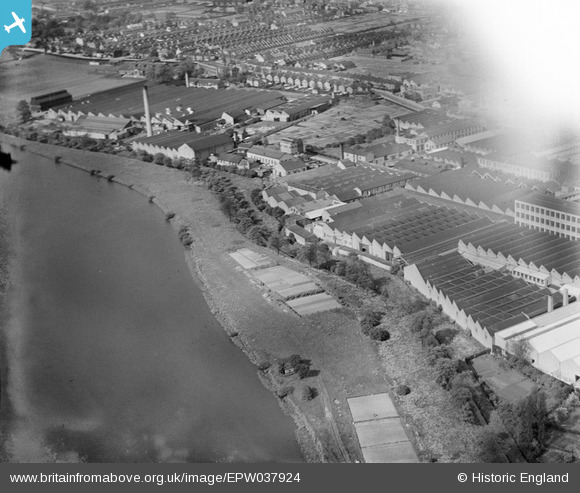
EPW037924 ENGLAND (1932). Factories next to the High Maynard Reservoir, Higham Hill, 1932
© Copyright OpenStreetMap contributors and licensed by the OpenStreetMap Foundation. 2024. Cartography is licensed as CC BY-SA.
Nearby Images (26)
EPW037924

EPW037927

EPW037923

EAW025751

EPW037926

EPW037925

EAW025749

EAW025753

EPW037920

EPW037921

EAW025747

EPW037542

EPW037918

EAW025752

EPW037547

EPW037540

EPW037922

EPW037543

EPW037545

EPW037546

EPW037919

EPW037541

EPW037544

EAW025748

EAW025746

EAW025750

Details
| Title | [EPW037924] Factories next to the High Maynard Reservoir, Higham Hill, 1932 |
| Reference | EPW037924 |
| Date | 18-May-1932 |
| Link | |
| Place name | HIGHAM HILL |
| Parish | |
| District | |
| Country | ENGLAND |
| Easting / Northing | 535613, 189644 |
| Longitude / Latitude | -0.042198377100017, 51.588833353361 |
| National Grid Reference | TQ356896 |
Pins
Be the first to add a comment to this image!


