
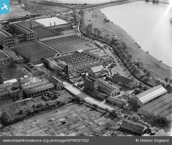
EPW037922 ENGLAND (1932). Factories next to the High Maynard Reservoir, Higham Hill, 1932
© Copyright OpenStreetMap contributors and licensed by the OpenStreetMap Foundation. 2024. Cartography is licensed as CC BY-SA.
Nearby Images (32)
EPW037922

EPW037543

EPW037540

EPW037921

EPW037920

EPW037919

EPW037544

EPW037918

EPW037545

EPW037546

EPW037925

EPW037547

EPW037541

EPW037542

EPW037923

EAW025752

EAW025749

EAW025751

EPW037926

EAW025753

EAW025748

EPW037927

EPW037924

EAW025747

EAW025746

EAW025750

EPW017339

EPW017341

EPW017337

EPW017340

EPW017338

EPW017344

Details
| Title | [EPW037922] Factories next to the High Maynard Reservoir, Higham Hill, 1932 |
| Reference | EPW037922 |
| Date | 18-May-1932 |
| Link | |
| Place name | HIGHAM HILL |
| Parish | |
| District | |
| Country | ENGLAND |
| Easting / Northing | 535681, 189724 |
| Longitude / Latitude | -0.041186368444119, 51.589535949016 |
| National Grid Reference | TQ357897 |
Pins
Be the first to add a comment to this image!


