
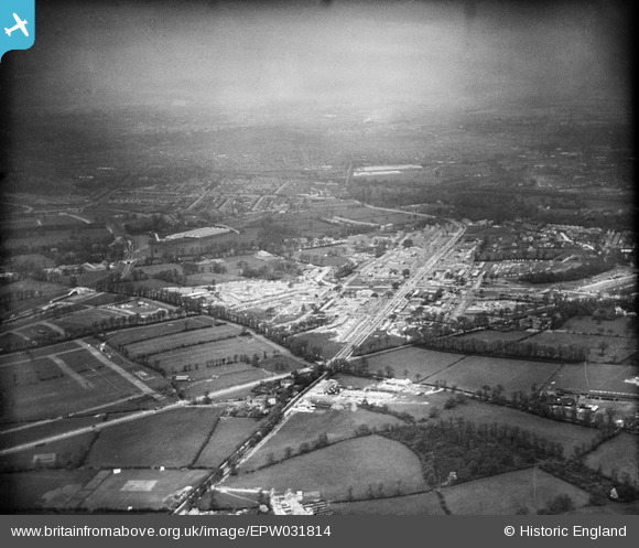
EPW031814 ENGLAND (1930). St Helier and environs, Morden, from the south-east, 1930
© Copyright OpenStreetMap contributors and licensed by the OpenStreetMap Foundation. 2024. Cartography is licensed as CC BY-SA.
Nearby Images (10)
EPW031814

EPW031810

EPW035584

EPW031966

EPW031960

EPW031962

EPW031963

EPW031961

EPW031968

EPW031812

Details
| Title | [EPW031814] St Helier and environs, Morden, from the south-east, 1930 |
| Reference | EPW031814 |
| Date | May-1930 |
| Link | |
| Place name | MORDEN |
| Parish | |
| District | |
| Country | ENGLAND |
| Easting / Northing | 526030, 166793 |
| Longitude / Latitude | -0.18862660038606, 51.385673853993 |
| National Grid Reference | TQ260668 |
Pins
 Laurie |
Friday 11th of March 2016 07:31:03 PM | |
Laurie |
Friday 11th of March 2016 07:29:42 PM | |
Rob H |
Sunday 6th of January 2013 05:43:31 AM | |
Rob H |
Sunday 6th of January 2013 05:42:13 AM | |
christhewino |
Wednesday 12th of December 2012 09:51:50 PM | |
christhewino |
Wednesday 12th of December 2012 09:51:16 PM | |
christhewino |
Wednesday 12th of December 2012 09:49:58 PM |


