
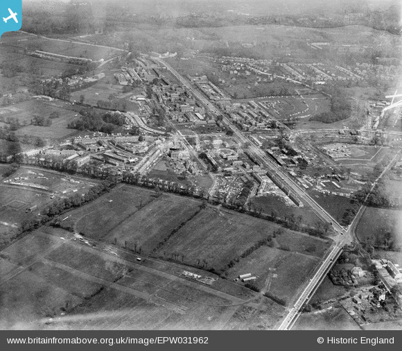
EPW031962 ENGLAND (1930). St Helier and environs, Morden, 1930
© Copyright OpenStreetMap contributors and licensed by the OpenStreetMap Foundation. 2024. Cartography is licensed as CC BY-SA.
Nearby Images (10)
EPW031962

EPW031960

EPW031966

EPW031961

EPW031812

EPW031963

EPW031810

EPW031967

EPW031814

EPW035584

Details
| Title | [EPW031962] St Helier and environs, Morden, 1930 |
| Reference | EPW031962 |
| Date | May-1930 |
| Link | |
| Place name | MORDEN |
| Parish | |
| District | |
| Country | ENGLAND |
| Easting / Northing | 525947, 166978 |
| Longitude / Latitude | -0.18975325442031, 51.387355097532 |
| National Grid Reference | TQ259670 |
Pins
 freakbeatjames |
Monday 4th of January 2016 04:45:34 PM |


