
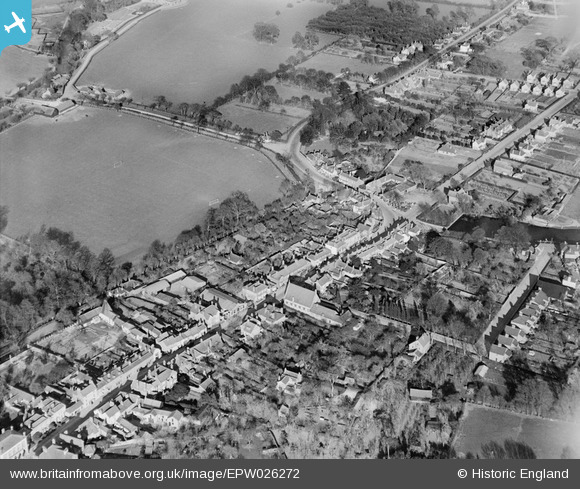
EPW026272 ENGLAND (1929). London Street and environs, Chertsey, 1929
© Copyright OpenStreetMap contributors and licensed by the OpenStreetMap Foundation. 2024. Cartography is licensed as CC BY-SA.
Nearby Images (4)
EPW026272

EAW003683

EPW023376

EPW049547

Details
| Title | [EPW026272] London Street and environs, Chertsey, 1929 |
| Reference | EPW026272 |
| Date | 25-April-1929 |
| Link | |
| Place name | CHERTSEY |
| Parish | |
| District | |
| Country | ENGLAND |
| Easting / Northing | 504512, 166861 |
| Longitude / Latitude | -0.49774931314813, 51.390656808959 |
| National Grid Reference | TQ045669 |


