
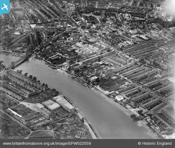
EPW022559 ENGLAND (1928). Manbre Saccharine Works and environs, Fulham, 1928
© Copyright OpenStreetMap contributors and licensed by the OpenStreetMap Foundation. 2024. Cartography is licensed as CC BY-SA.
Nearby Images (13)
EPW022559

EPW007947

EPW007981

EPW022561

EPW022556

EPW022554

EPW022558

EPW022805

EPW010781

EPW022799

EPW022802

EPW024775

EPW022801

Details
| Title | [EPW022559] Manbre Saccharine Works and environs, Fulham, 1928 |
| Reference | EPW022559 |
| Date | August-1928 |
| Link | |
| Place name | FULHAM |
| Parish | |
| District | |
| Country | ENGLAND |
| Easting / Northing | 523282, 177960 |
| Longitude / Latitude | -0.22421303211206, 51.486649795875 |
| National Grid Reference | TQ233780 |
Pins
 Maggie |
Tuesday 3rd of November 2020 08:52:24 PM | |
Maggie |
Tuesday 3rd of November 2020 08:49:17 PM | |
Maggie |
Tuesday 3rd of November 2020 08:48:25 PM | |
bondi |
Saturday 20th of December 2014 03:21:48 PM | |
bondi |
Saturday 20th of December 2014 03:17:34 PM | |
bondi |
Saturday 20th of December 2014 03:12:53 PM | |
bondi |
Saturday 20th of December 2014 03:12:06 PM | |
bondi |
Saturday 20th of December 2014 03:10:33 PM | |
bondi |
Saturday 20th of December 2014 03:07:39 PM |


