
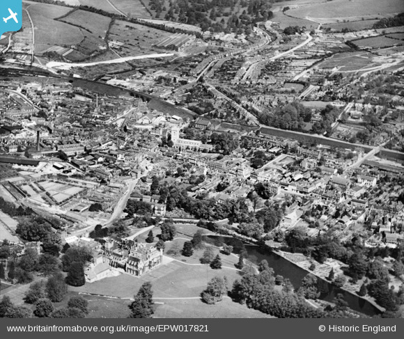
EPW017821 ENGLAND (1927). The town centre including Wycombe Abbey, High Wycombe, from the south, 1927
© Copyright OpenStreetMap contributors and licensed by the OpenStreetMap Foundation. 2024. Cartography is licensed as CC BY-SA.
Nearby Images (9)
EPW017821

EPW052765

EPW052764

EPW034492

EPW034496

EPW038415

EPW034491

EPW017826

EPW017828

Details
| Title | [EPW017821] The town centre including Wycombe Abbey, High Wycombe, from the south, 1927 |
| Reference | EPW017821 |
| Date | April-1927 |
| Link | |
| Place name | HIGH WYCOMBE |
| Parish | |
| District | |
| Country | ENGLAND |
| Easting / Northing | 486624, 192786 |
| Longitude / Latitude | -0.74842749040387, 51.626745321279 |
| National Grid Reference | SU866928 |
Pins
 Stephen |
Tuesday 26th of June 2012 02:21:51 PM |


