
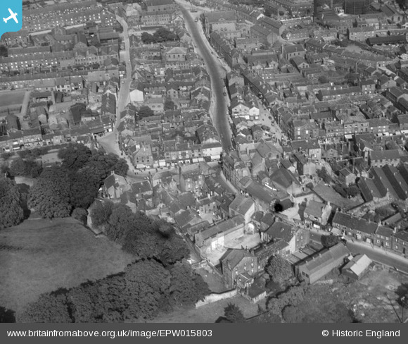
EPW015803 ENGLAND (1926). The market place and environs, Otley, 1926
© Copyright OpenStreetMap contributors and licensed by the OpenStreetMap Foundation. 2024. Cartography is licensed as CC BY-SA.
Nearby Images (12)
EPW015803

EPW015802

EPW015840

EPW015812

EPW015810

EPW024483

EPW024701

EPW015805

EPW024484

EPW015911

EPW015914

EPW015913

Details
| Title | [EPW015803] The market place and environs, Otley, 1926 |
| Reference | EPW015803 |
| Date | 5-June-1926 |
| Link | |
| Place name | OTLEY |
| Parish | OTLEY |
| District | |
| Country | ENGLAND |
| Easting / Northing | 420175, 445565 |
| Longitude / Latitude | -1.6928814375875, 53.905650242351 |
| National Grid Reference | SE202456 |
Pins
 Class31 |
Friday 24th of August 2012 09:14:25 AM |


