
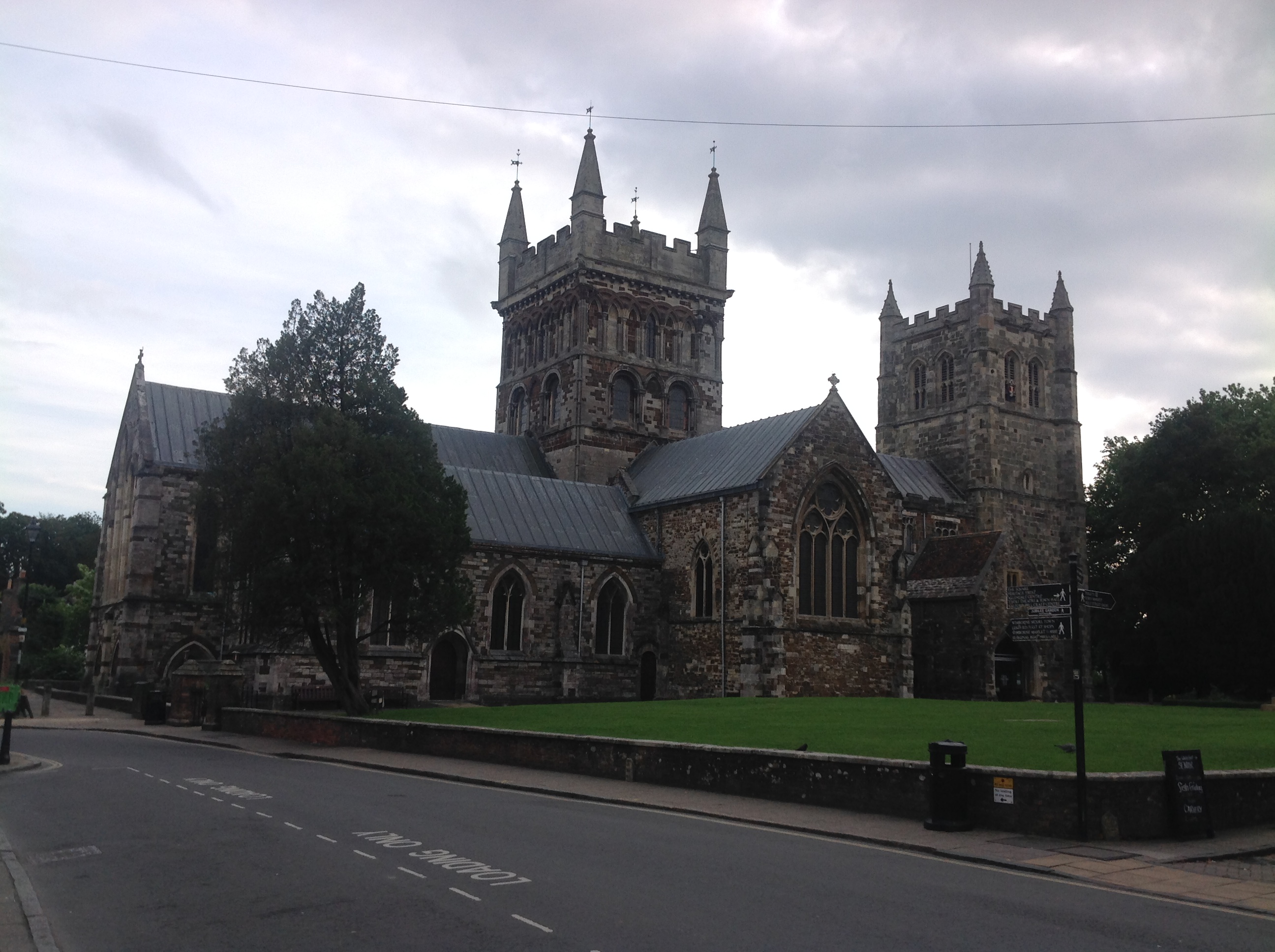
EPW013621 ENGLAND (1925). The Minster and town centre, Wimborne Minster, 1925. This image has been produced from a copy-negative.

© Copyright OpenStreetMap contributors and licensed by the OpenStreetMap Foundation. 2024. Cartography is licensed as CC BY-SA.
Nearby Images (7)
EPW013621

EAW024380

EAW024381

EAW024382

EPW013620

EPW013623

EAW024379

Details
| Title | [EPW013621] The Minster and town centre, Wimborne Minster, 1925. This image has been produced from a copy-negative. |
| Reference | EPW013621 |
| Date | June-1925 |
| Link | |
| Place name | WIMBORNE MINSTER |
| Parish | WIMBORNE MINSTER |
| District | |
| Country | ENGLAND |
| Easting / Northing | 400910, 99980 |
| Longitude / Latitude | -1.9870859450505, 50.798815815892 |
| National Grid Reference | SZ0091000 |
Pins


User Comment Contributions
 The Minster Church of St Cuthberga, Wimborne Minster, 05/09/2015 |
 Class31 |
Sunday 6th of September 2015 05:46:38 PM |


