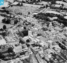
EAW024381 ENGLAND (1949). The Minster Church of St Cuthberga and the town centre, Wimborne Minster, 1949
© Copyright OpenStreetMap contributors and licensed by the OpenStreetMap Foundation. 2024. Cartography is licensed as CC BY-SA.
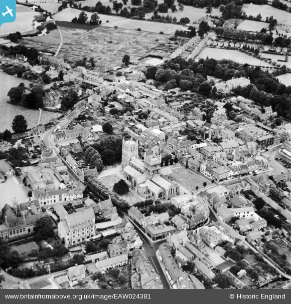
Nearby Images (7)
EAW024381

EPW013621

EPW013620

EAW024380

EAW024382

EPW013623

EAW024379

Details
| Title | [EAW024381] The Minster Church of St Cuthberga and the town centre, Wimborne Minster, 1949 |
| Reference | EAW024381 |
| Date | 6-July-1949 |
| Link | |
| Place name | WIMBORNE MINSTER |
| Parish | WIMBORNE MINSTER |
| District | |
| Country | ENGLAND |
| Easting / Northing | 400876, 99962 |
| Longitude / Latitude | -1.9875684911396, 50.798653983733 |
| National Grid Reference | SZ0091000 |