
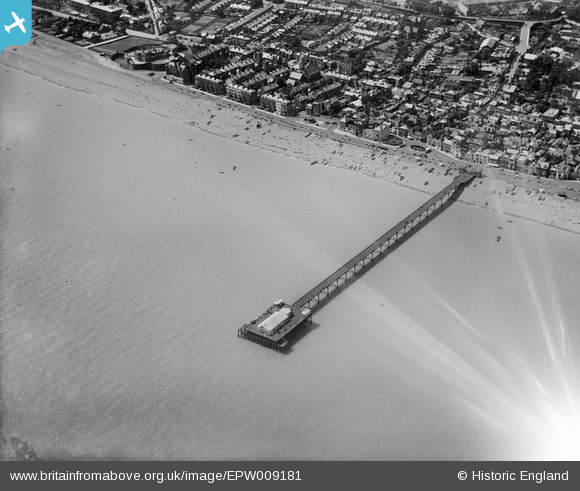
EPW009181 ENGLAND (1923). The pier, Deal, 1923
© Copyright OpenStreetMap contributors and licensed by the OpenStreetMap Foundation. 2024. Cartography is licensed as CC BY-SA.
Nearby Images (12)
EPW009181

EPW000646

EPW009177

EPW035436

EPW009179

EPW039320

EPW042832

EPW009180

EPW035437

EPW039322

EPW000388

EPW009178

Details
| Title | [EPW009181] The pier, Deal, 1923 |
| Reference | EPW009181 |
| Date | 1923 |
| Link | |
| Place name | DEAL |
| Parish | DEAL |
| District | |
| Country | ENGLAND |
| Easting / Northing | 638049, 152602 |
| Longitude / Latitude | 1.4095606225659, 51.222375360459 |
| National Grid Reference | TR380526 |
Pins
 Alan McFaden |
Wednesday 9th of July 2014 10:26:11 AM | |
Alan McFaden |
Wednesday 9th of July 2014 10:25:30 AM | |
Alan McFaden |
Wednesday 9th of July 2014 10:25:06 AM | |
Alan McFaden |
Wednesday 9th of July 2014 10:24:43 AM | |
Alan McFaden |
Wednesday 9th of July 2014 10:24:20 AM |


