
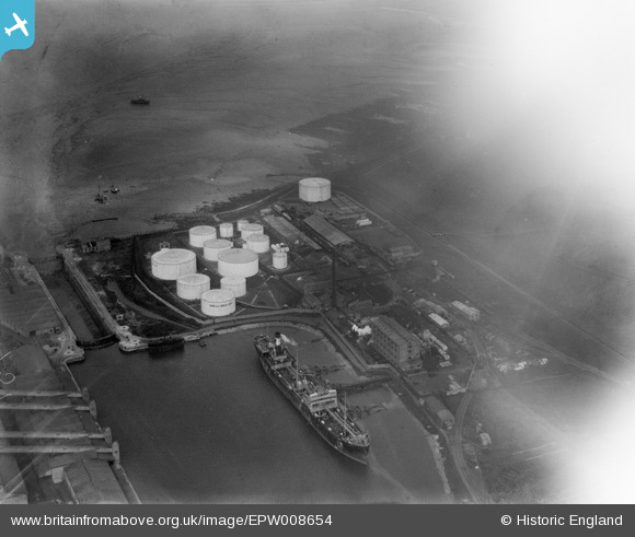
EPW008654 ENGLAND (1923). Portishead Dock, Portishead, 1923
© Copyright OpenStreetMap contributors and licensed by the OpenStreetMap Foundation. 2024. Cartography is licensed as CC BY-SA.
Nearby Images (4)
EPW008654

EPW005557

EPW005558

EAW002075

Details
| Title | [EPW008654] Portishead Dock, Portishead, 1923 |
| Reference | EPW008654 |
| Date | 1923 |
| Link | |
| Place name | PORTISHEAD |
| Parish | PORTISHEAD AND NORTH WESTON |
| District | |
| Country | ENGLAND |
| Easting / Northing | 347632, 177177 |
| Longitude / Latitude | -2.7543662077194, 51.490627252606 |
| National Grid Reference | ST476772 |
Pins
Be the first to add a comment to this image!


