
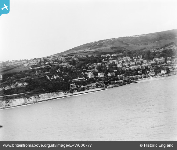
EPW000777 ENGLAND (1920). Ventnor, from the south, 1920
© Copyright OpenStreetMap contributors and licensed by the OpenStreetMap Foundation. 2024. Cartography is licensed as CC BY-SA.
Nearby Images (7)
EPW000777

EAW038595

EPW032288

EPW022983

EPW023098

EPW039654

EPW022977

Details
| Title | [EPW000777] Ventnor, from the south, 1920 |
| Reference | EPW000777 |
| Date | April-1920 |
| Link | |
| Place name | VENTNOR |
| Parish | VENTNOR |
| District | |
| Country | ENGLAND |
| Easting / Northing | 455908, 77129 |
| Longitude / Latitude | -1.2100941175544, 50.590622324172 |
| National Grid Reference | SZ559771 |
Pins
Be the first to add a comment to this image!


