
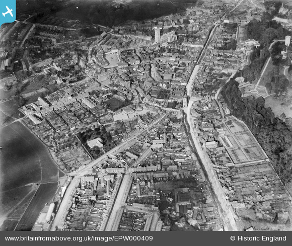
EPW000409 ENGLAND (1920). Warwick, from the south-west, 1920
© Copyright OpenStreetMap contributors and licensed by the OpenStreetMap Foundation. 2024. Cartography is licensed as CC BY-SA.
Nearby Images (9)
EPW000409

EPW000408

EPW019741

EPW019742

EPW000407

EPW053229

EAW003265

EAW024691

EPW000410

Details
| Title | [EPW000409] Warwick, from the south-west, 1920 |
| Reference | EPW000409 |
| Date | April-1920 |
| Link | |
| Place name | WARWICK |
| Parish | WARWICK |
| District | |
| Country | ENGLAND |
| Easting / Northing | 427931, 264725 |
| Longitude / Latitude | -1.5905467902149, 52.279567466453 |
| National Grid Reference | SP279647 |
Pins
 DRIP |
Sunday 17th of January 2021 02:49:48 PM | |
Glassman |
Sunday 4th of January 2015 01:16:34 PM |


