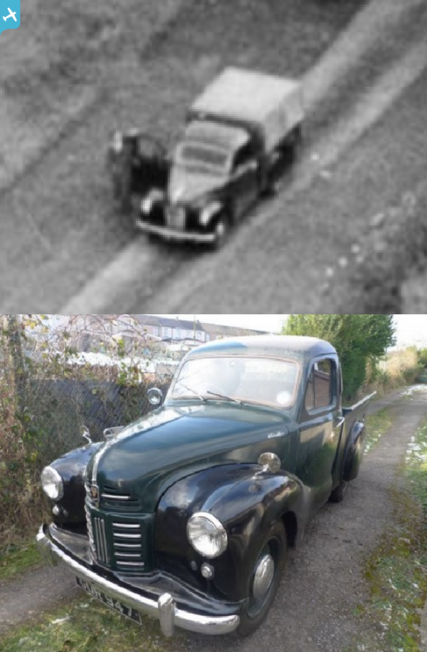
EAW050878 ENGLAND (1953). East Lodge Farm, Leighton Bromswold, 1953

© Copyright OpenStreetMap contributors and licensed by the OpenStreetMap Foundation. 2024. Cartography is licensed as CC BY-SA.
Nearby Images (18)
EAW050878

EAW031097

EAW031096

EAW050880

EAW031103

EAW031093

EAW031095

EAW031092

EAW031094

EAW031101

EAW031104

EAW031098

EAW031100

EAW031099

EAW050879

EAW031102

EAW031091

EAW031105

Details
| Title | [EAW050878] East Lodge Farm, Leighton Bromswold, 1953 |
| Reference | EAW050878 |
| Date | 24-July-1953 |
| Link | |
| Place name | LEIGHTON BROMSWOLD |
| Parish | LEIGHTON |
| District | |
| Country | ENGLAND |
| Easting / Northing | 512557, 275657 |
| Longitude / Latitude | -0.34666542937293, 52.367004609035 |
| National Grid Reference | TL126757 |
Pins
 Billy Turner |
Monday 31st of October 2016 06:56:47 PM |