
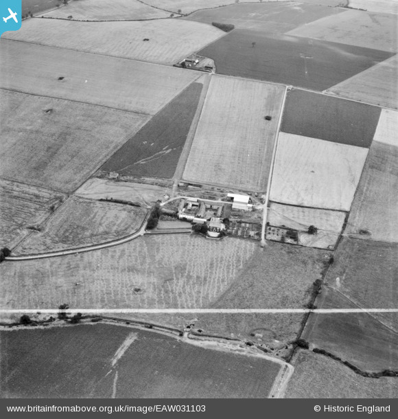
EAW031103 ENGLAND (1950). East Lodge Farm and surrounding farm land, Leighton Bromswold, 1950. This image was marked by Aerofilms Ltd for photo editing.
© Copyright OpenStreetMap contributors and licensed by the OpenStreetMap Foundation. 2024. Cartography is licensed as CC BY-SA.
Nearby Images (18)
EAW031103

EAW031097

EAW050880

EAW050878

EAW031096

EAW031094

EAW031098

EAW031099

EAW031100

EAW031095

EAW031093

EAW031092

EAW031102

EAW031101

EAW031104

EAW050879

EAW031091

EAW031105

Details
| Title | [EAW031103] East Lodge Farm and surrounding farm land, Leighton Bromswold, 1950. This image was marked by Aerofilms Ltd for photo editing. |
| Reference | EAW031103 |
| Date | 19-July-1950 |
| Link | |
| Place name | LEIGHTON BROMSWOLD |
| Parish | LEIGHTON |
| District | |
| Country | ENGLAND |
| Easting / Northing | 512543, 275688 |
| Longitude / Latitude | -0.34686057769676, 52.367286095475 |
| National Grid Reference | TL125757 |
Pins
Be the first to add a comment to this image!


