
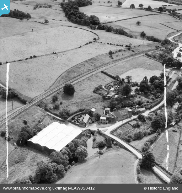
EAW050412 ENGLAND (1953). Lowerworks Mica Mill and Harrington House, Bosley, 1953. This image was marked by Aerofilms Ltd for photo editing.
© Copyright OpenStreetMap contributors and licensed by the OpenStreetMap Foundation. 2024. Cartography is licensed as CC BY-SA.
Nearby Images (5)
EAW050412

EAW050411

EAW050410

EAW050408

EAW050409

Details
| Title | [EAW050412] Lowerworks Mica Mill and Harrington House, Bosley, 1953. This image was marked by Aerofilms Ltd for photo editing. |
| Reference | EAW050412 |
| Date | 7-July-1953 |
| Link | |
| Place name | BOSLEY |
| Parish | BOSLEY |
| District | |
| Country | ENGLAND |
| Easting / Northing | 391313, 365056 |
| Longitude / Latitude | -2.1300040592761, 53.18224482663 |
| National Grid Reference | SJ913651 |
Pins
 bescotbeast |
Monday 20th of March 2023 05:00:40 PM |


