
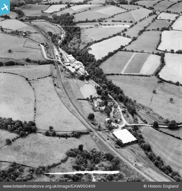
EAW050409 ENGLAND (1953). The Wood Flour Mills and environs, Bosley, 1953. This image was marked by Aerofilms Ltd for photo editing.
© Copyright OpenStreetMap contributors and licensed by the OpenStreetMap Foundation. 2024. Cartography is licensed as CC BY-SA.
Nearby Images (7)
EAW050409

EAW050408

EAW050412

EAW050410

EAW050411

EAW050407

EAW050413

Details
| Title | [EAW050409] The Wood Flour Mills and environs, Bosley, 1953. This image was marked by Aerofilms Ltd for photo editing. |
| Reference | EAW050409 |
| Date | 7-July-1953 |
| Link | |
| Place name | BOSLEY |
| Parish | BOSLEY |
| District | |
| Country | ENGLAND |
| Easting / Northing | 391335, 364943 |
| Longitude / Latitude | -2.1296717584633, 53.181229324551 |
| National Grid Reference | SJ913649 |
Pins
Be the first to add a comment to this image!


