
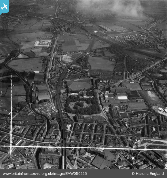
EAW050225 ENGLAND (1953). Cotton mills around Flowery Field House and environs, Hyde, 1953. This image was marked by Aerofilms Ltd for photo editing.
© Copyright OpenStreetMap contributors and licensed by the OpenStreetMap Foundation. 2024. Cartography is licensed as CC BY-SA.
Nearby Images (17)
EAW050225

EAW050223

EAW050215

EAW050224

EAW038444

EAW038411

EAW038402

EAW038405

EAW038404

EAW038406

EAW038412

EAW038401

EAW050222

EAW038409

EAW050214

EAW038403

EAW050216

Details
| Title | [EAW050225] Cotton mills around Flowery Field House and environs, Hyde, 1953. This image was marked by Aerofilms Ltd for photo editing. |
| Reference | EAW050225 |
| Date | 29-June-1953 |
| Link | |
| Place name | HYDE |
| Parish | |
| District | |
| Country | ENGLAND |
| Easting / Northing | 394467, 395612 |
| Longitude / Latitude | -2.0833368016906, 53.456977000459 |
| National Grid Reference | SJ945956 |
Pins
 TheBlueCube |
Saturday 15th of November 2014 01:11:02 AM | |
TheBlueCube |
Saturday 15th of November 2014 01:08:11 AM | |
TheBlueCube |
Saturday 15th of November 2014 01:06:31 AM | |
TheBlueCube |
Saturday 15th of November 2014 01:05:35 AM |


