
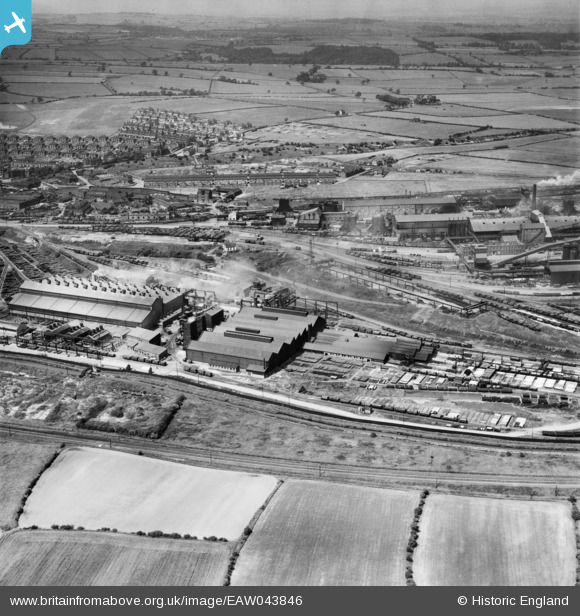
EAW043846 ENGLAND (1952). The Staveley Iron Works and Barrow Hill, Staveley, 1952
© Copyright OpenStreetMap contributors and licensed by the OpenStreetMap Foundation. 2024. Cartography is licensed as CC BY-SA.
Nearby Images (12)
EAW043846

EPW057343

EPW041677

EAW044349

EPW057338

EAW003061

EPW057354

EAW003060

EPW041673

EAW044345

EAW043847

EAW006280

Details
| Title | [EAW043846] The Staveley Iron Works and Barrow Hill, Staveley, 1952 |
| Reference | EAW043846 |
| Date | 10-June-1952 |
| Link | |
| Place name | STAVELEY |
| Parish | STAVELEY |
| District | |
| Country | ENGLAND |
| Easting / Northing | 442012, 374723 |
| Longitude / Latitude | -1.3700212024421, 53.267556803031 |
| National Grid Reference | SK420747 |
Pins
Be the first to add a comment to this image!


