
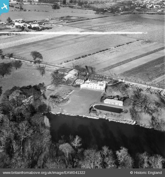
EAW041322 ENGLAND (1951). The Aviary, Norwood Green, 1951. This image was marked by Aerofilms Ltd for photo editing.
© Copyright OpenStreetMap contributors and licensed by the OpenStreetMap Foundation. 2024. Cartography is licensed as CC BY-SA.
Nearby Images (7)
EAW041322

EAW041320

EAW041317

EAW041321

EAW041319

EAW041323

EAW041318

Details
| Title | [EAW041322] The Aviary, Norwood Green, 1951. This image was marked by Aerofilms Ltd for photo editing. |
| Reference | EAW041322 |
| Date | 20-November-1951 |
| Link | |
| Place name | NORWOOD GREEN |
| Parish | |
| District | |
| Country | ENGLAND |
| Easting / Northing | 514890, 179012 |
| Longitude / Latitude | -0.34469490209303, 51.497873590845 |
| National Grid Reference | TQ149790 |


